UNDERWATER · AERIAL · MEDIA
ROV and UAV inspections. A clearer view.
Get a clearer view of marine, inland and elevated assets. ROV Media plans practical underwater and aerial capture around your location, access and project brief.
Talk through a project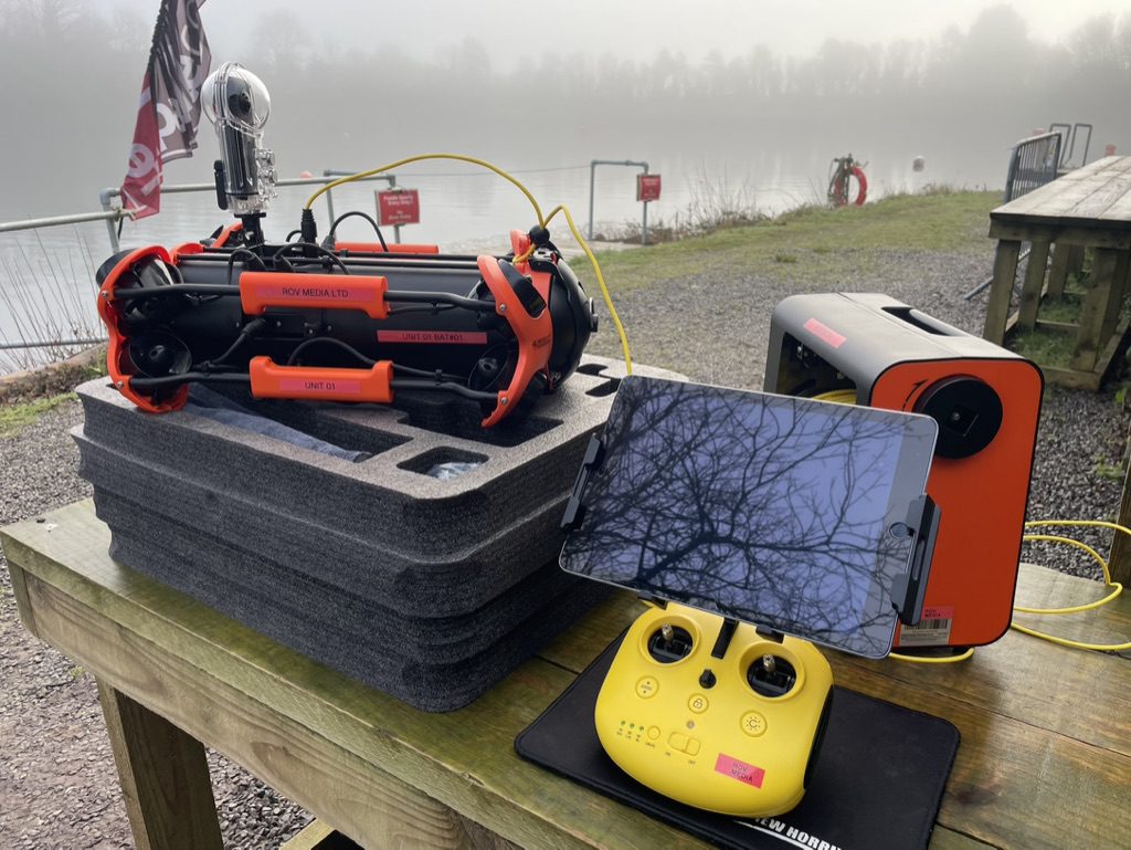
WHAT WE DO
One team for the view you need.
Based on the South Coast and working across the UK, ROV Media supports marine, infrastructure, industrial and production teams with remotely operated vehicles, UAV imaging and specialist media capture. We agree the scope and deliverables before work begins; suitability depends on the asset, conditions and access. Founder and Director Bryan Stanislas is a member of the Society for Underwater Technology (SUT).
ROV inspection
Visual inspection of submerged assets using a remotely operated vehicle, with live viewing and recording options agreed to suit the brief.
- Hull, propeller and rudder checks
- Pontoons, pilings, moorings and marine structures
- Culverts, locks, tanks and other submerged areas
- High-definition underwater imaging with live viewing and recording
- High-definition 360° underwater filming
- Laser scaling for visual reference
- Grabber-assisted recovery, where conditions and scope allow
UAV inspection & imaging
Capture useful views of elevated structures and wider sites where aerial access suits the task and operating conditions.
- Roofs and hard-to-reach structures
- Coastal and marine infrastructure
- Site overview photographs and video
- Photogrammetry for asset and site capture, scoped to the brief
Underwater & aerial media
Specialist camera support for film, documentary and commercial briefs that need a viewpoint beyond conventional access.
- Underwater ROV footage and stills
- Aerial filming and photography
- Location and operational filming support
- Deliverables planned with the production team
ABOVE AND BELOW THE WATERLINE
Join the views when the asset calls for it.
Some sites need both perspectives. We can plan ROV and UAV capture as one coordinated operation, helping you see visible structures above the water and submerged areas below it in a connected visual record.
Discuss a combined survey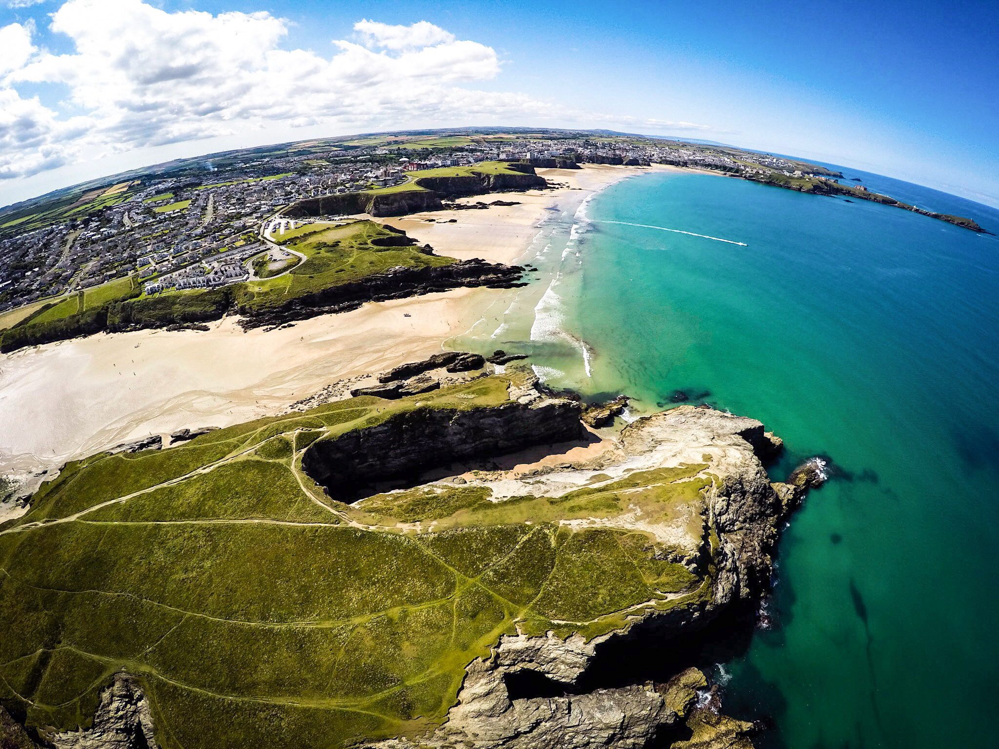
HOW A PROJECT STARTS
A practical plan, from first question to footage.
The work begins with the asset and the decision you need to make. Then we shape the capture around real site conditions.
Tell us what needs a closer look
Share the asset, location, access arrangements and what you need to see.
Agree the right approach
We discuss ROV, UAV or combined capture, along with conditions, operating limits and deliverables.
Review the visual material
We carry out the agreed work and provide the footage, images or project material in the format discussed.
GOOD TO KNOW
Before we mobilise.
Where does ROV Media work?
We are based on the South Coast and can discuss projects across the UK. Location, travel, site access and operating conditions are confirmed during scoping.
Can you inspect any submerged or elevated asset?
Every site is different. Depth, visibility, currents, obstructions, weather, permissions and equipment access can affect what is practical. We review those details with you before confirming the work.
What do you provide after a project?
Outputs are agreed to match the brief and may include recorded video, still images or other visual material. Tell us how the information will be used so we can discuss the right capture and handover.
HAVE A SITE OR PRODUCTION IN MIND?
Let’s work out the right view.
Tell us the location, asset and question you need answered.